
Revitalizing the River Edge
Native Plant Restoration at the Friant Interactive Nature Site
By Preston Ernest
Intermountain Nursery
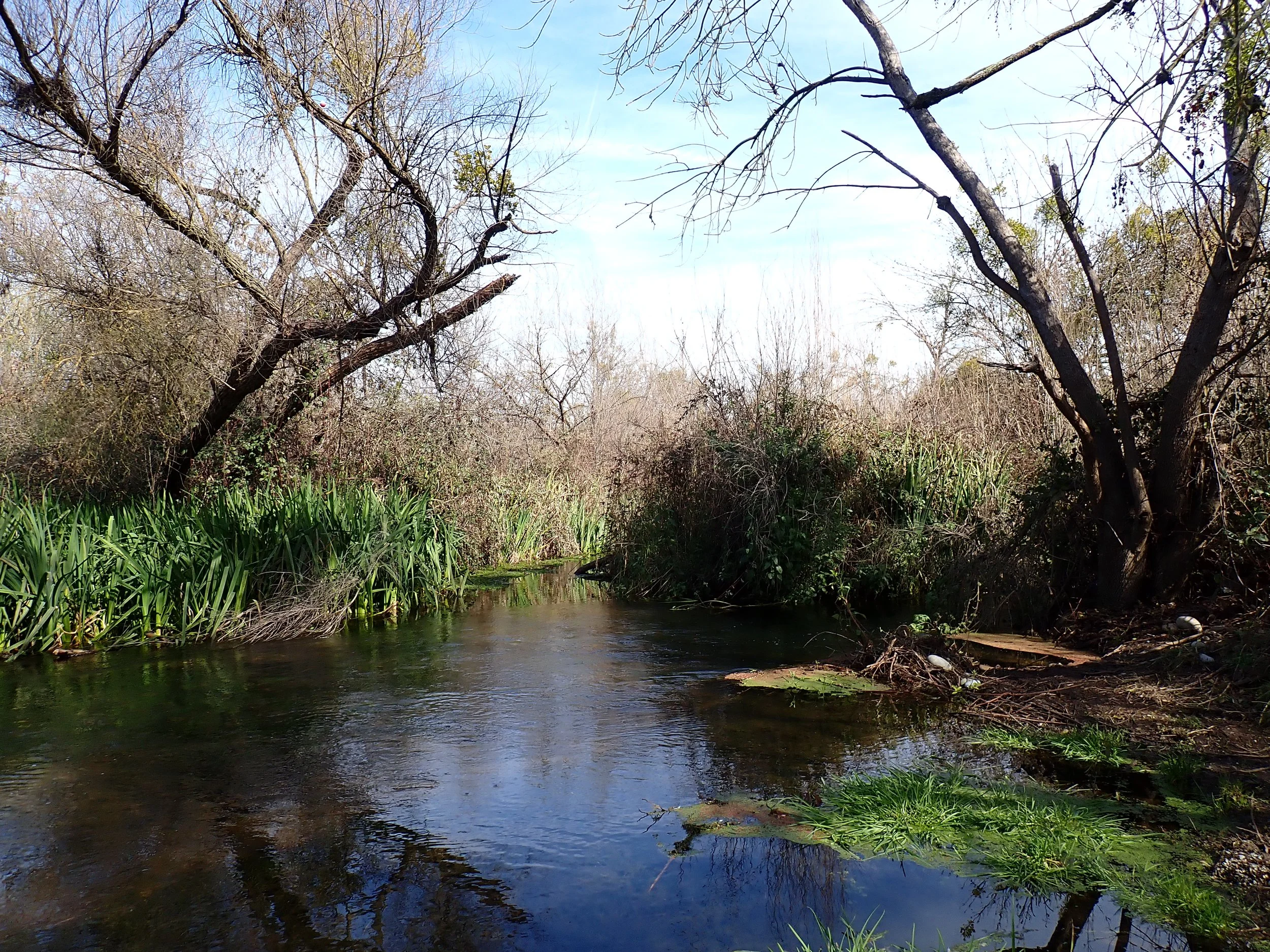
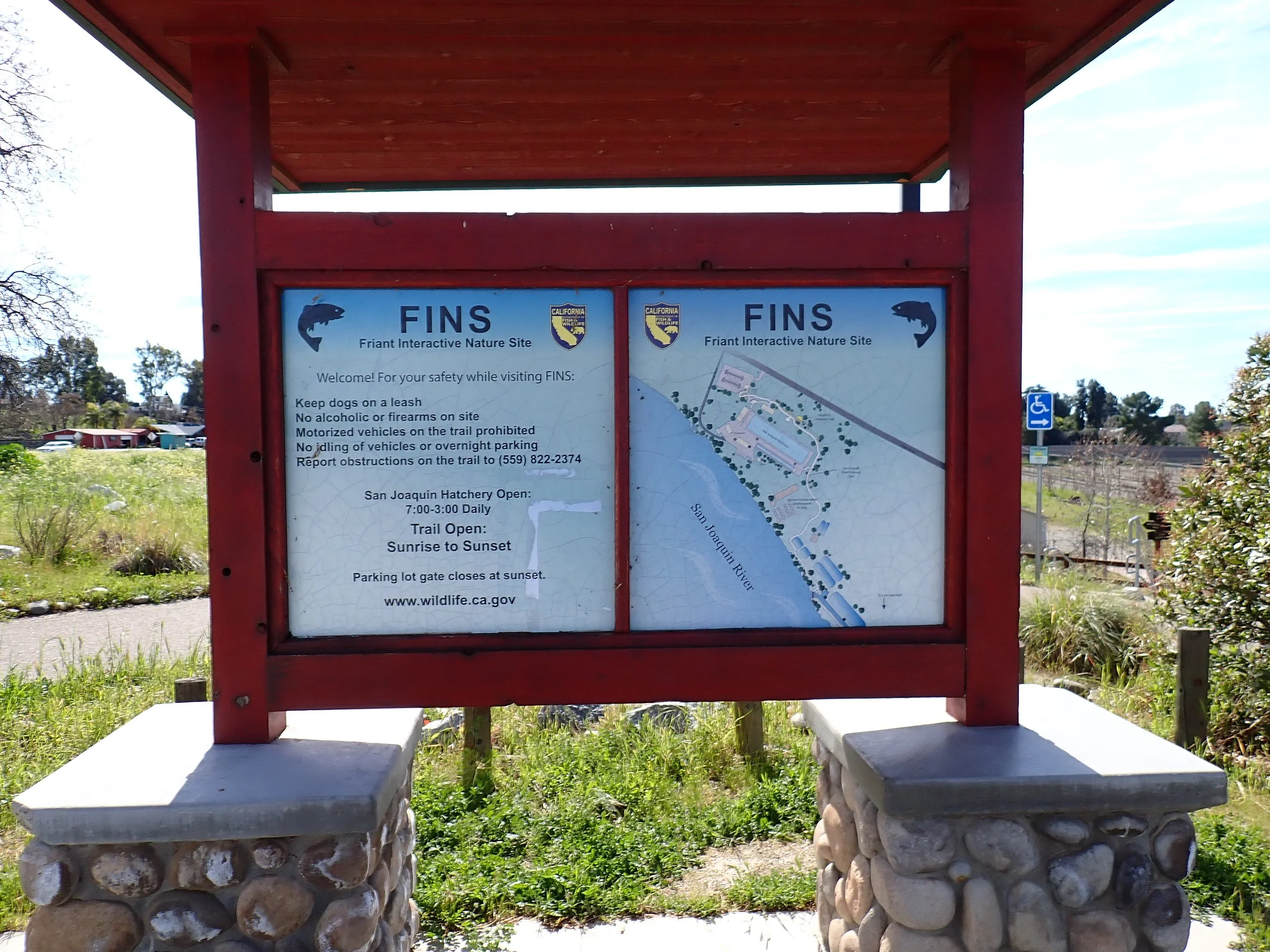
The Friant Interactive Nature Site (FINS) sits on the San Joaquin River just below Friant Dam. The interactive trail winds around a fish hatchery built in the early 1950s under what was then the California Department of Fish and Game. It forms a segment of the San Joaquin River Parkway, a trail system that spans the river edge, and also neighbors the brand new Salmon Conservation and Research Facility.
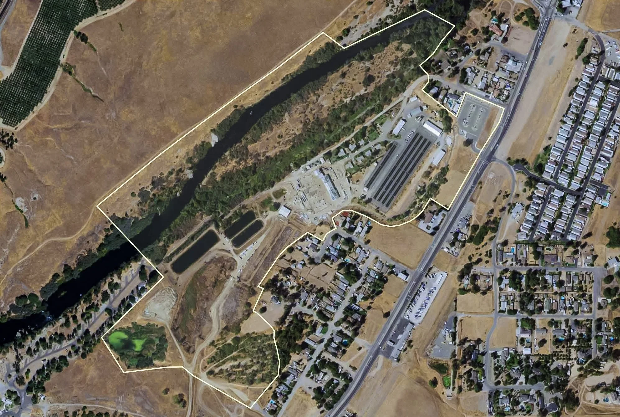
Fig 1. Satellite image of the FINS site
FINS was designed as an interpretive interface between hatchery operations and public engagement. The trail network moves through upland slopes, riparian zones, and the brand new SCARF project before reaching the actual San Joaquin River channel.
This season in coordination with CDFW (and friends!) we are rekindling an effort to steward native plantings across this corridor. Our goal is to strengthen the ecological function on an important stretch of river, while enhancing public engagement, education and accessibility.
More than a decade ago Intermountain Nursery helped install these gardens. Eventually staff cycled out, funding and administrative priorities shifted, and portions of the trail went without active management. We are so glad to be returning now with the chance to see how species establish over time, and to contribute with fresh eyes as the project evolves.
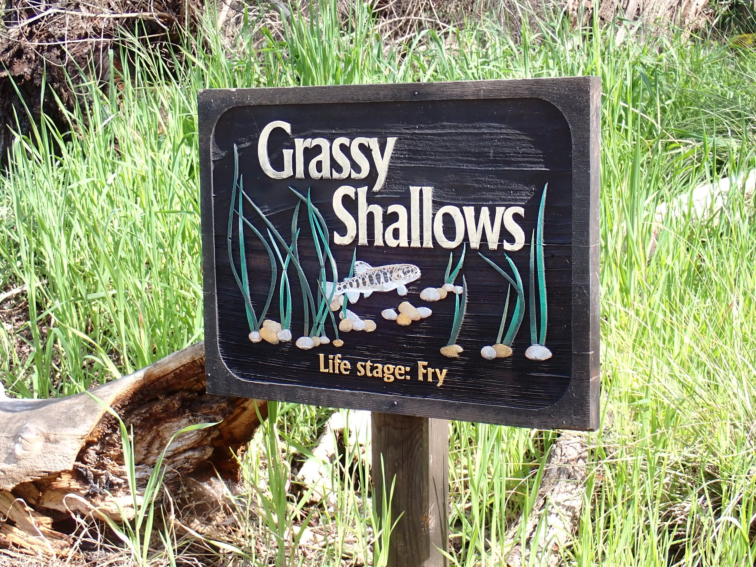
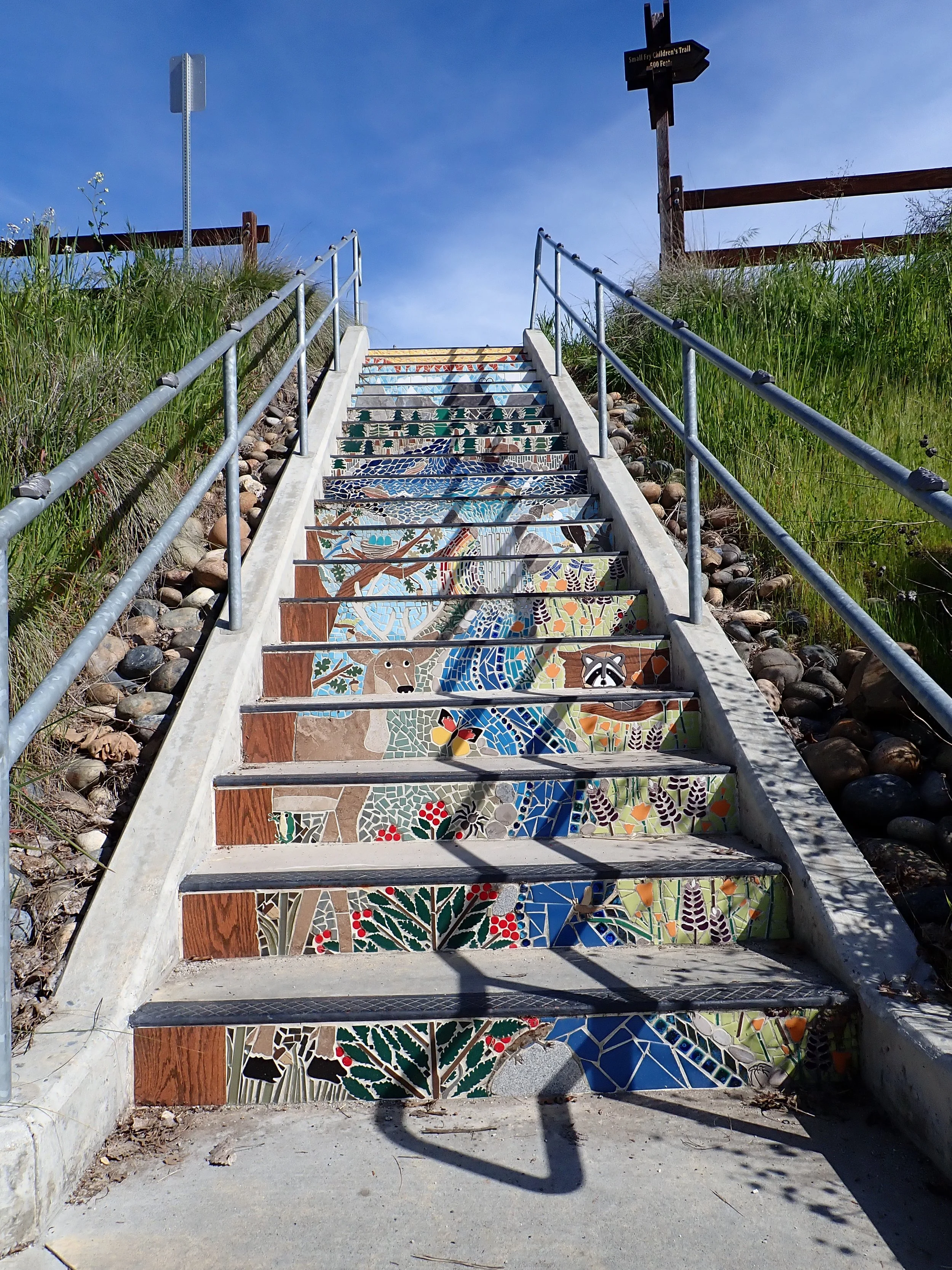
Fig 2. Interpretive signage along the Small Fry trail
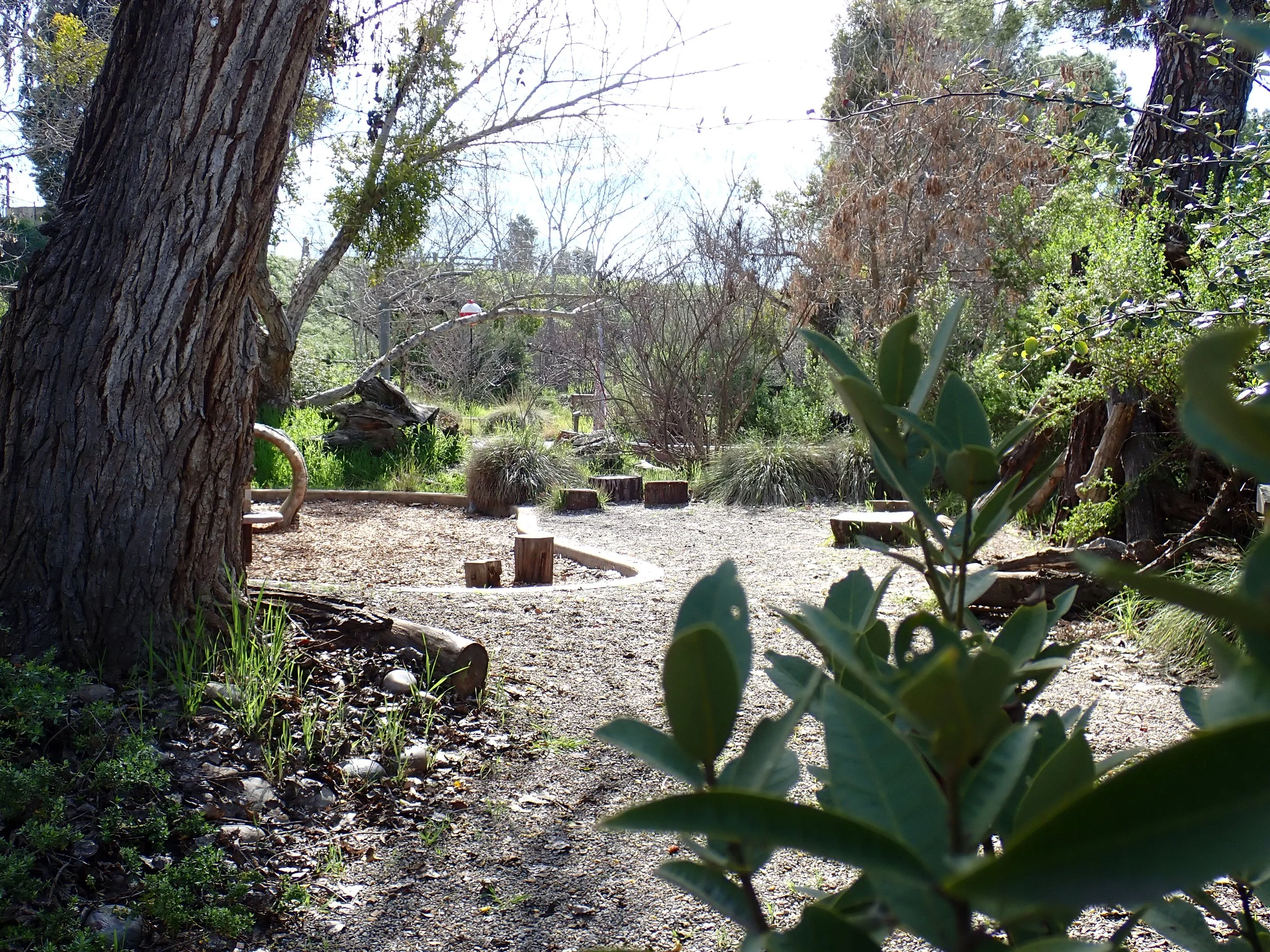
Fig 3. View into one of the interactive areas on the Small Fry trail with Deergrass, Ash trees, Bay laurel, and other native plants
Existing Conditions & Phased Planning


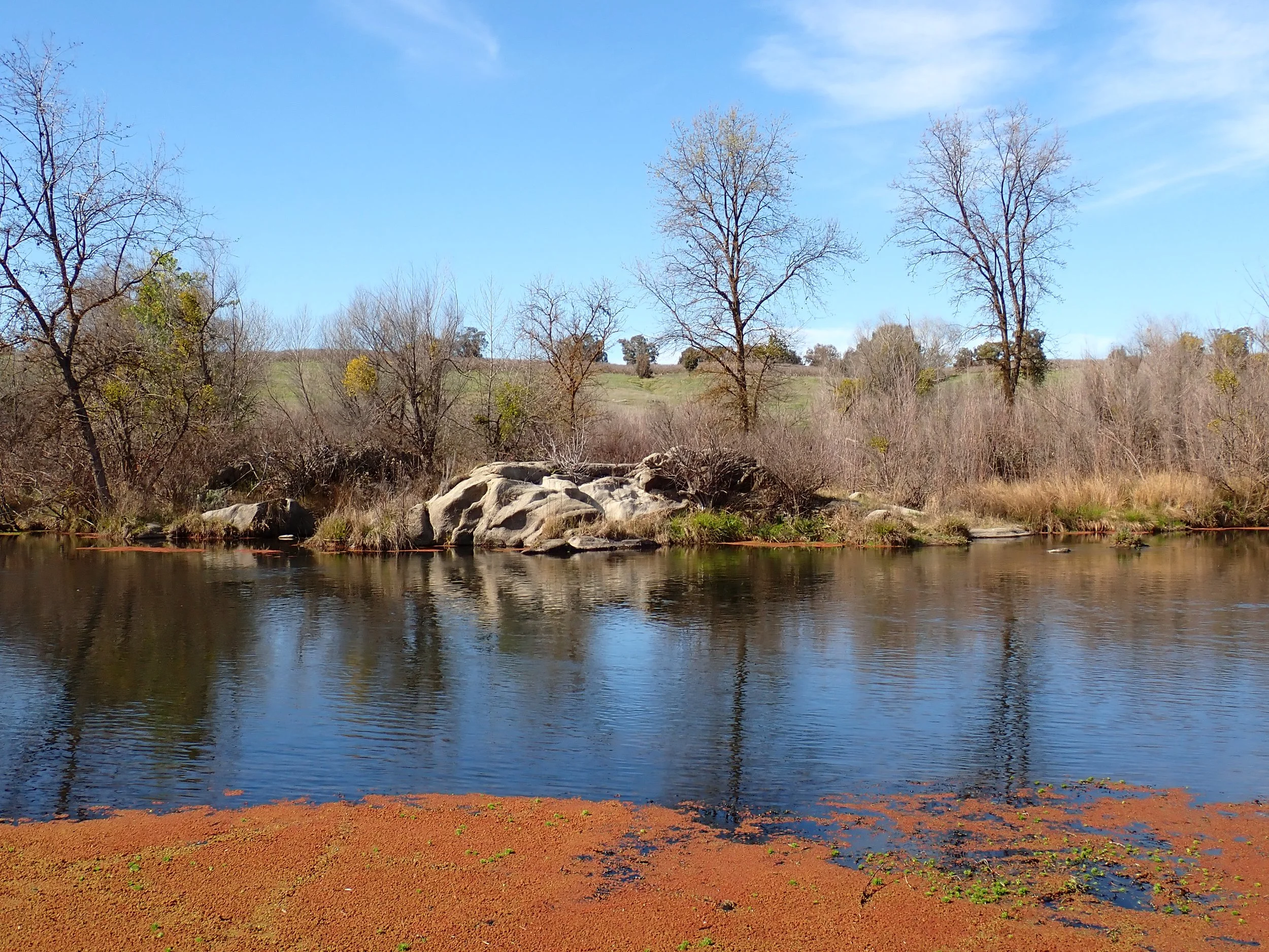
Standard discharge erosion problem: Water is currently shooting out of the culvert onto a pile of loose rock. The adjacent banks are steep and dominated by shallow-rooted annual grasses that have no structural integrity outside the wet season. The lack of root reinforcement means that the slope is trending toward erosion instead of a gentle cascade.
Once grading and rock work are in place we will establish a mix of deep-rooted California native perennial grasses, sedges, rushes, and shrubs appropriate to the local ecotype. The established matrix will reduce sediment loss into the San Joaquin and improve infiltration along the margin. The goal is for the slope to gain structural integrity and return to a gentle cascade while providing habitat for insects and birds.
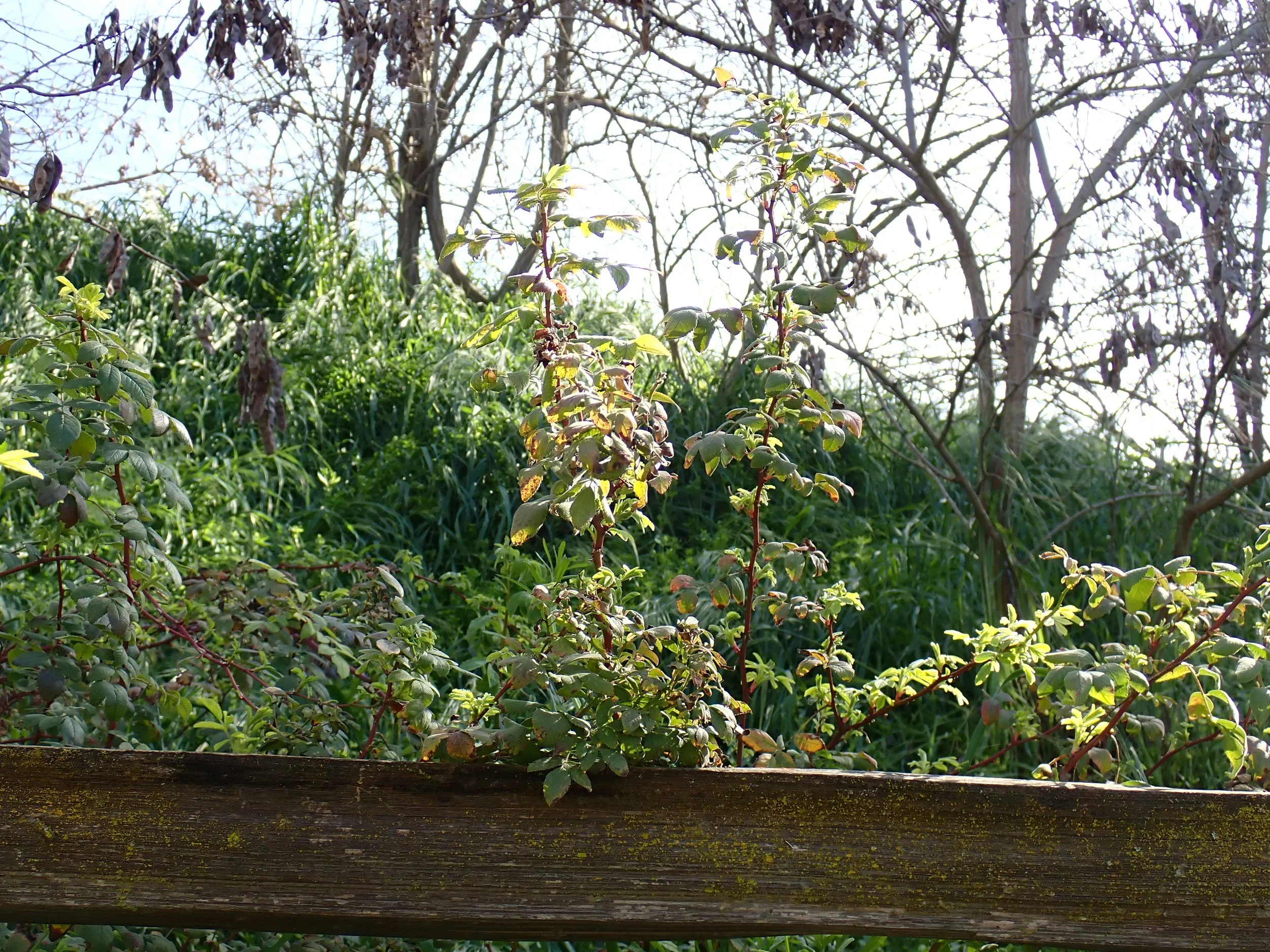
Fig 6. Rosa californica growing happily along the NW bank
Weeds: Seasonal growth has allowed introduced and invasive species to accumulate significant biomass in the demonstration gardens. As part of ongoing restoration, we will be thinning and reducing invasive pressure while creating space for native species to reestablish and stabilize the site over time.
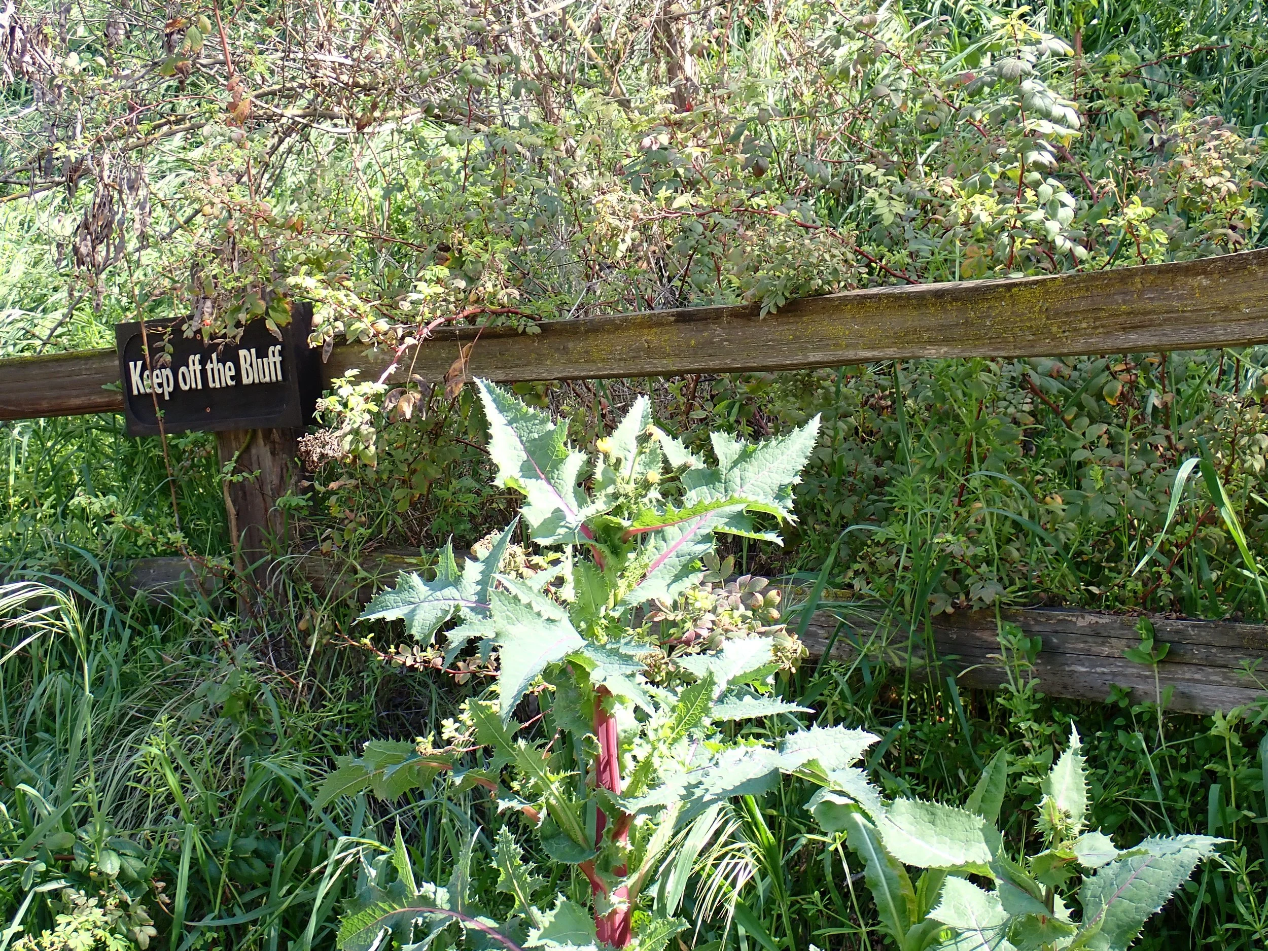
Fig 7. Sonchus asper, a Eurasian annual that has spread widely in California
Native Structure in Place


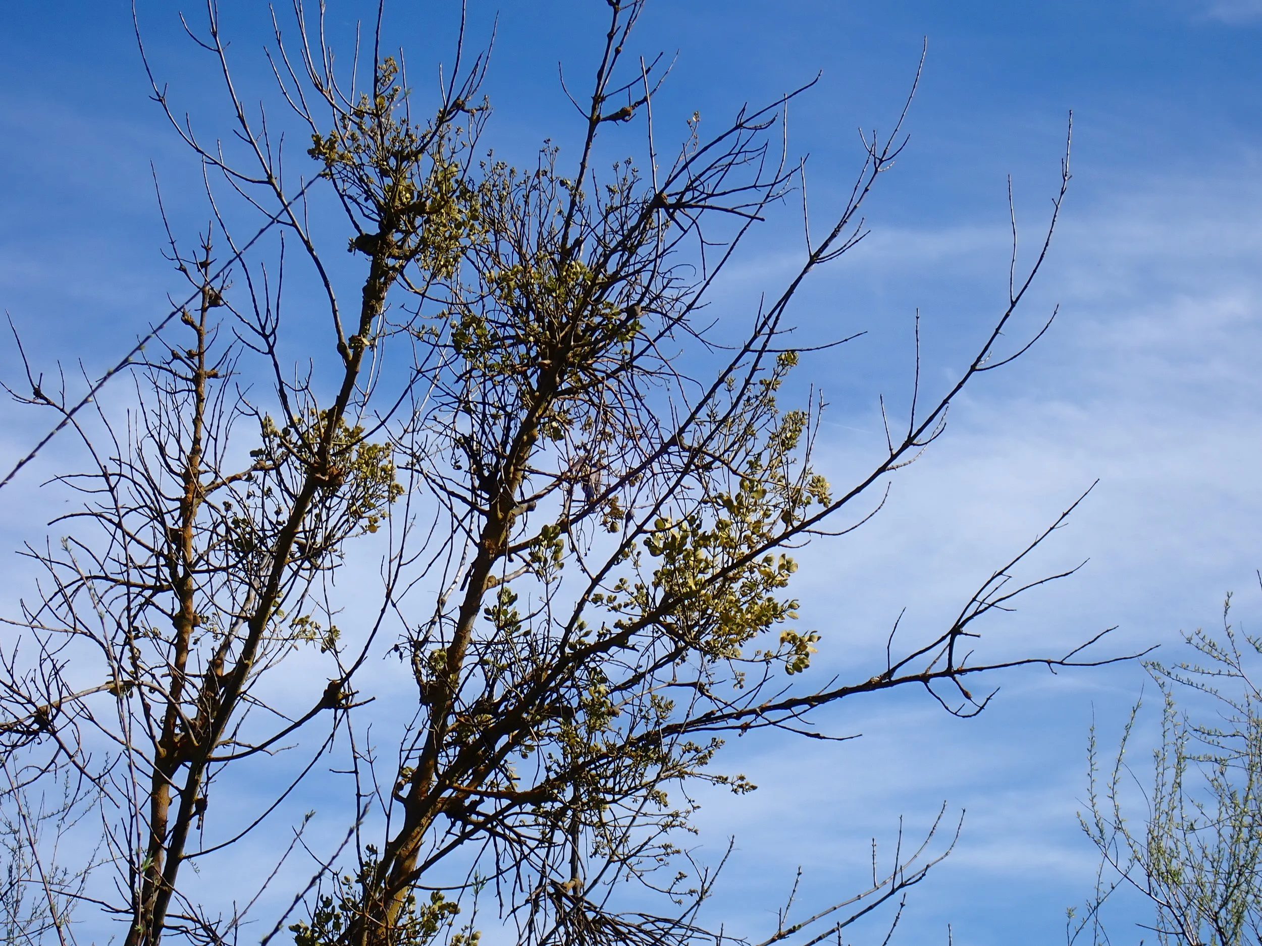
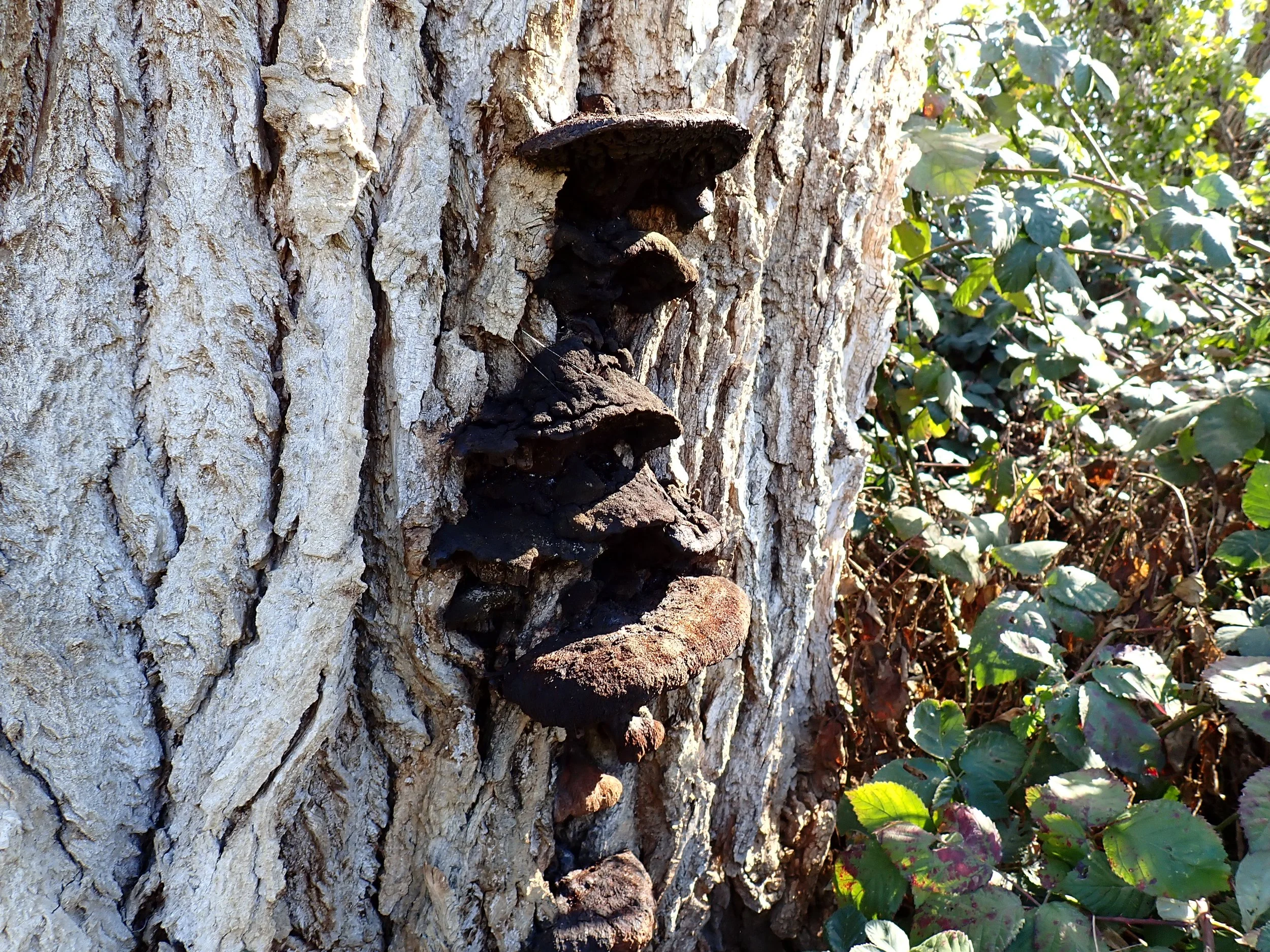
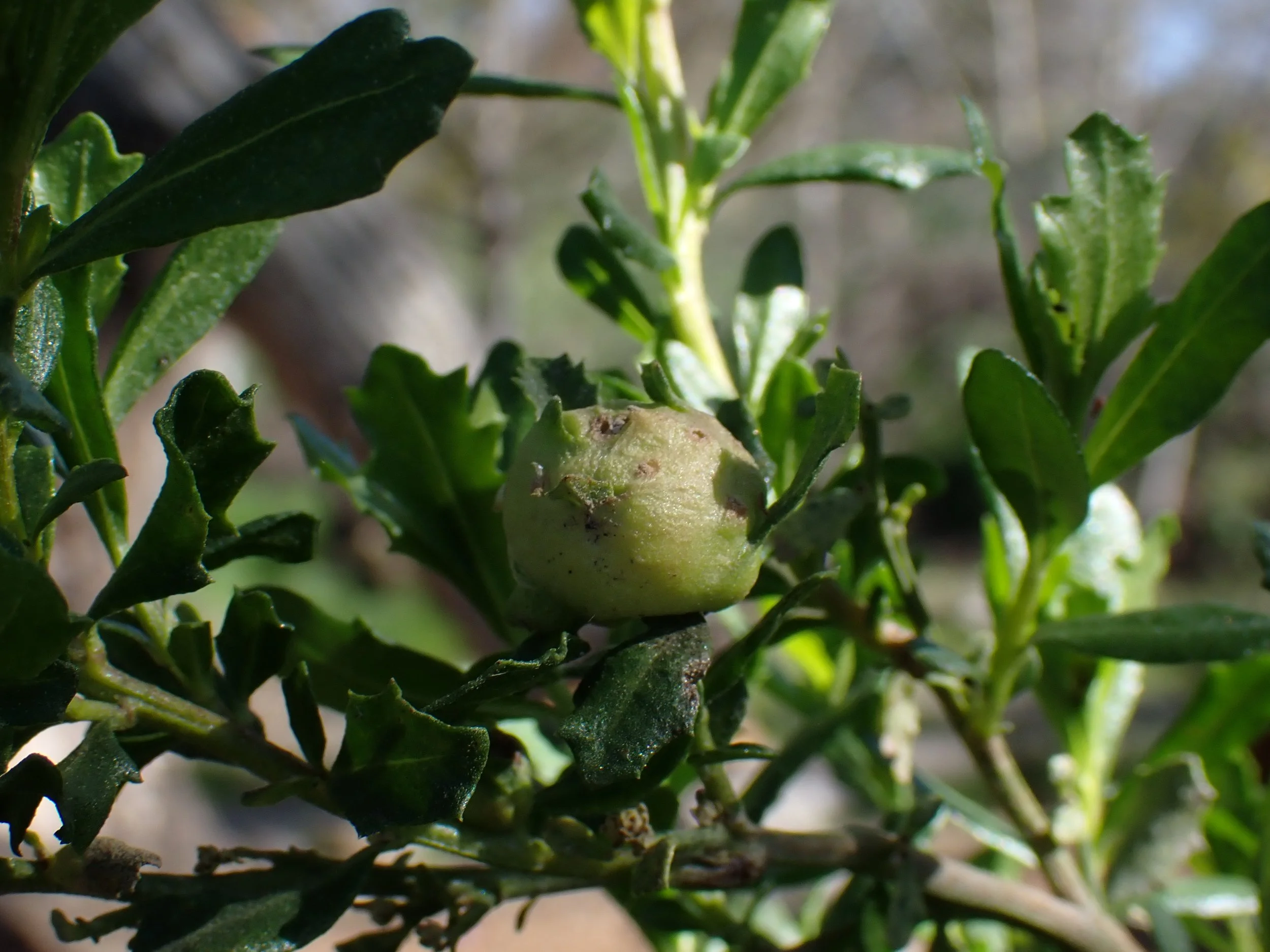
Buckwheats (Eriogonum spp.) are planted throughout the site. Their drought-adapted roots tolerate high summer heat while providing nectar resources for pollinators. Toyon are well established in portions of the garden, and this time of year they are packed with red fruits that support cedar waxwings, robins, and countless overwintering birds.

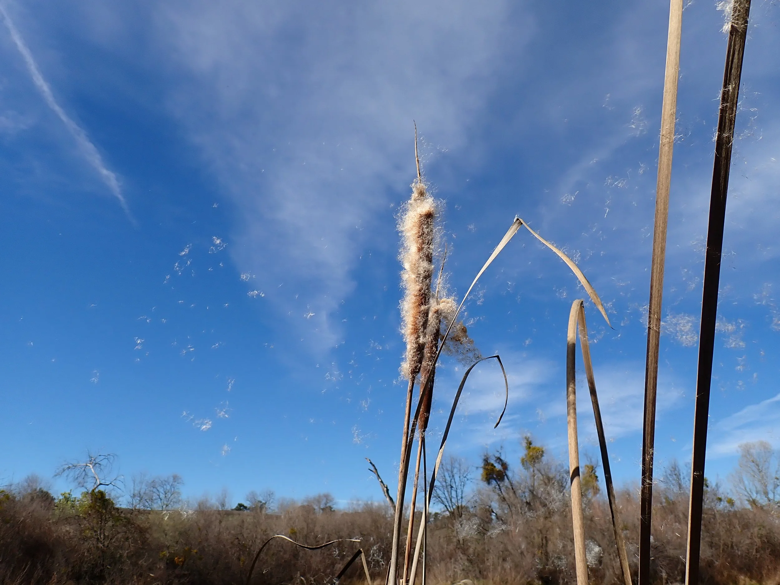
In wetter microsites we are expanding sedge populations and reintroducing Saltgrass (Distichlis spicata) where appropriate. Increasing rhizomatous root density improves soil cohesion and helps moderate seasonal flows.
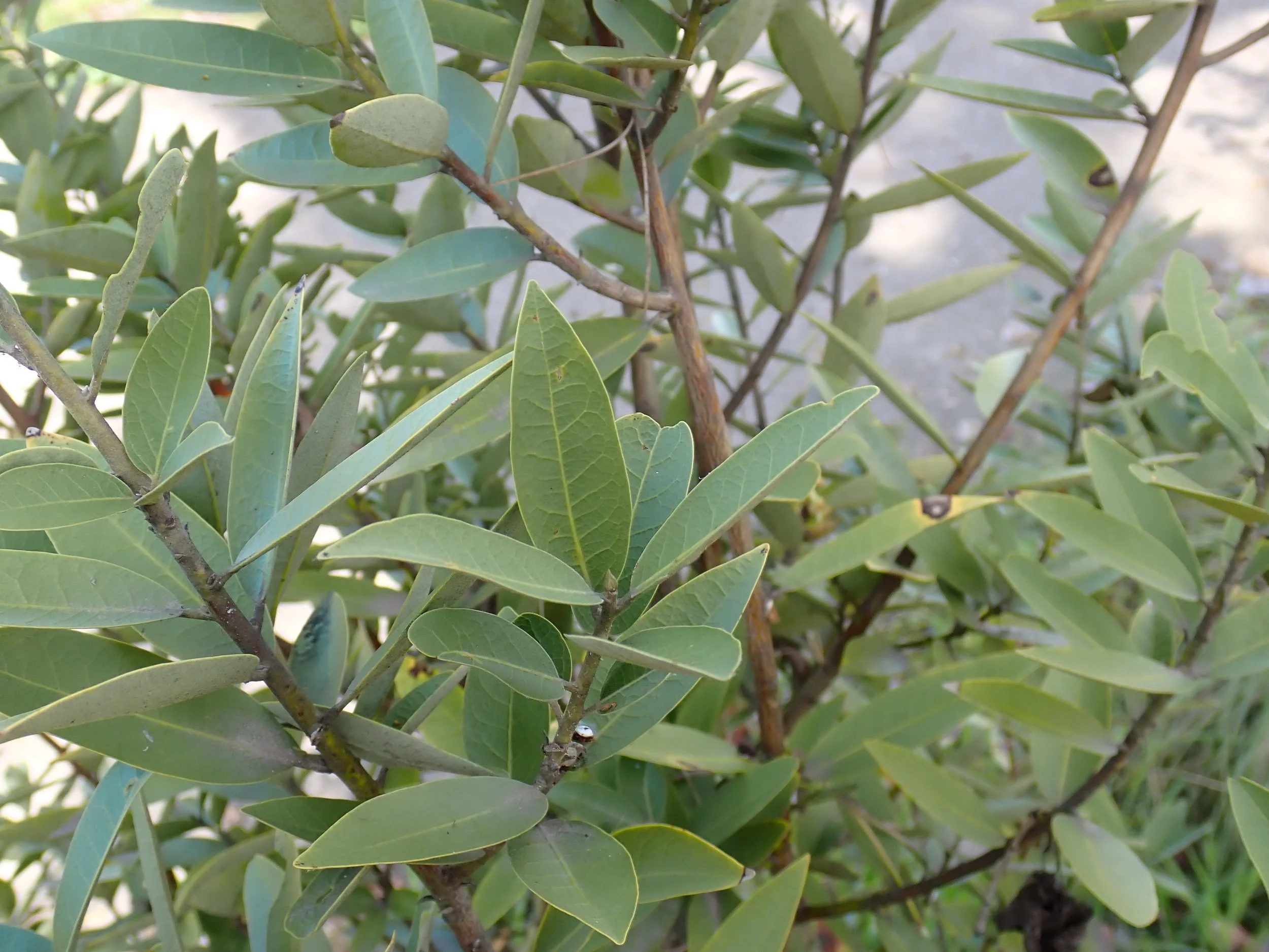
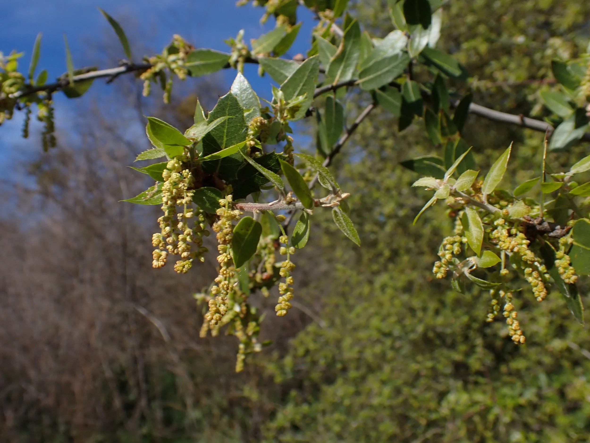
Along the trail there are well established manzanita (Arctostaphylos spp.), California bay (Umbellularia californica), coyote brush (Baccharis pilularis) and myriad layers of small to medium trees and shrubs. It is rare in restoration work to start with such a good set of bones in place.
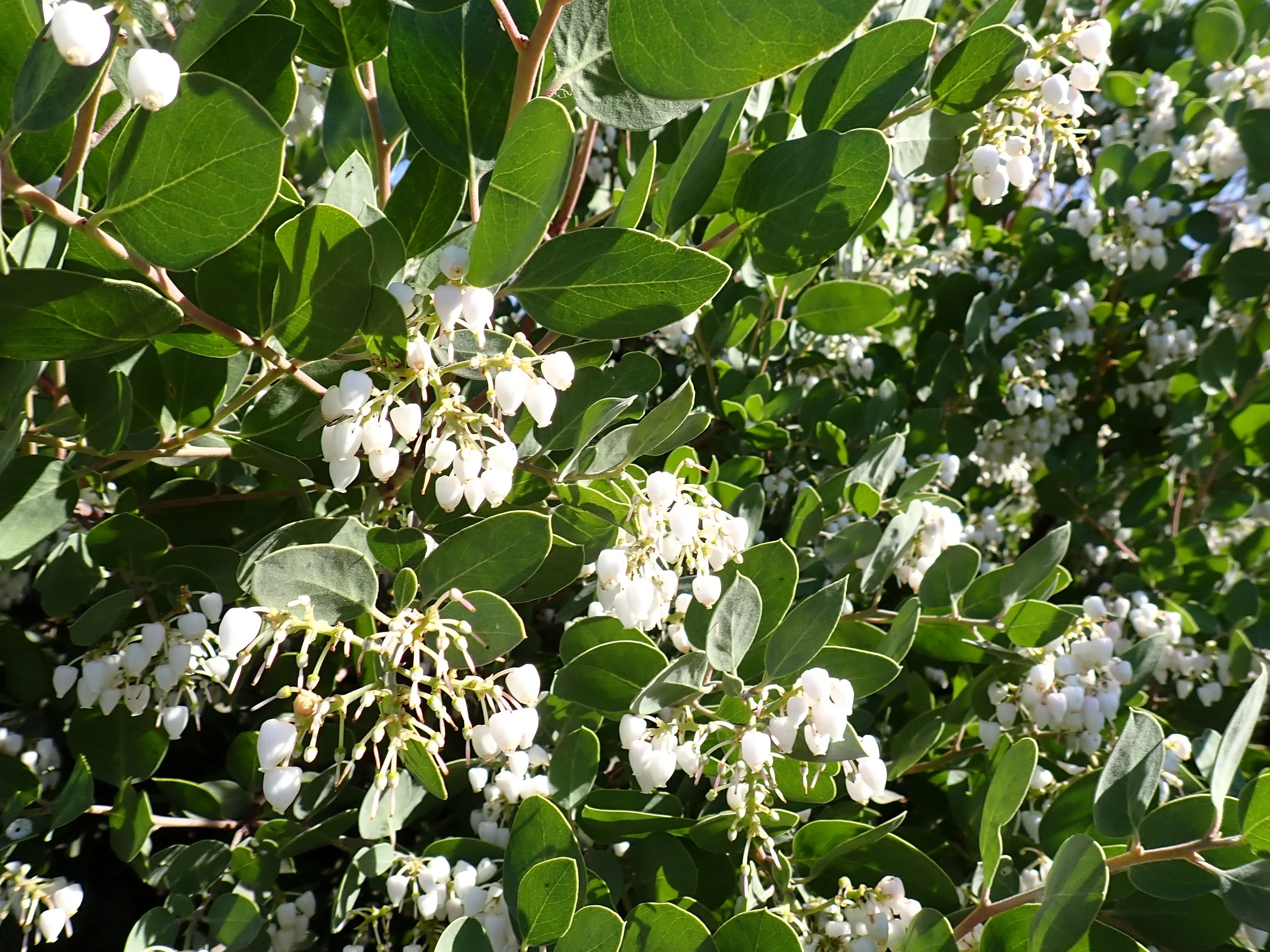
Fig 12. A mature Arctostaphylos in bloom
Salmon Conservation and Research Facility
“Rivers are easily wounded, but given a chance they heal themselves with remarkable speed. Their life pours back.”
― Robert Macfarlane, Is a River Alive?
One of the most impressive features adjacent to FINS is the new Salmon Conservation and Research Facility completed at the end of 2025. Chinook salmon were historically present throughout the San Joaquin and functionally extirpated in the mid-20th century when the river below the dam went dry and connectivity was cut off.
Salmon move marine nutrients inland and are keystone species in whole food webs. They are important to people in more ways than one. California often frames salmon as icons of our natural heritage, yet their recovery and ours depends on the relearning of what a functioning river actually requires.
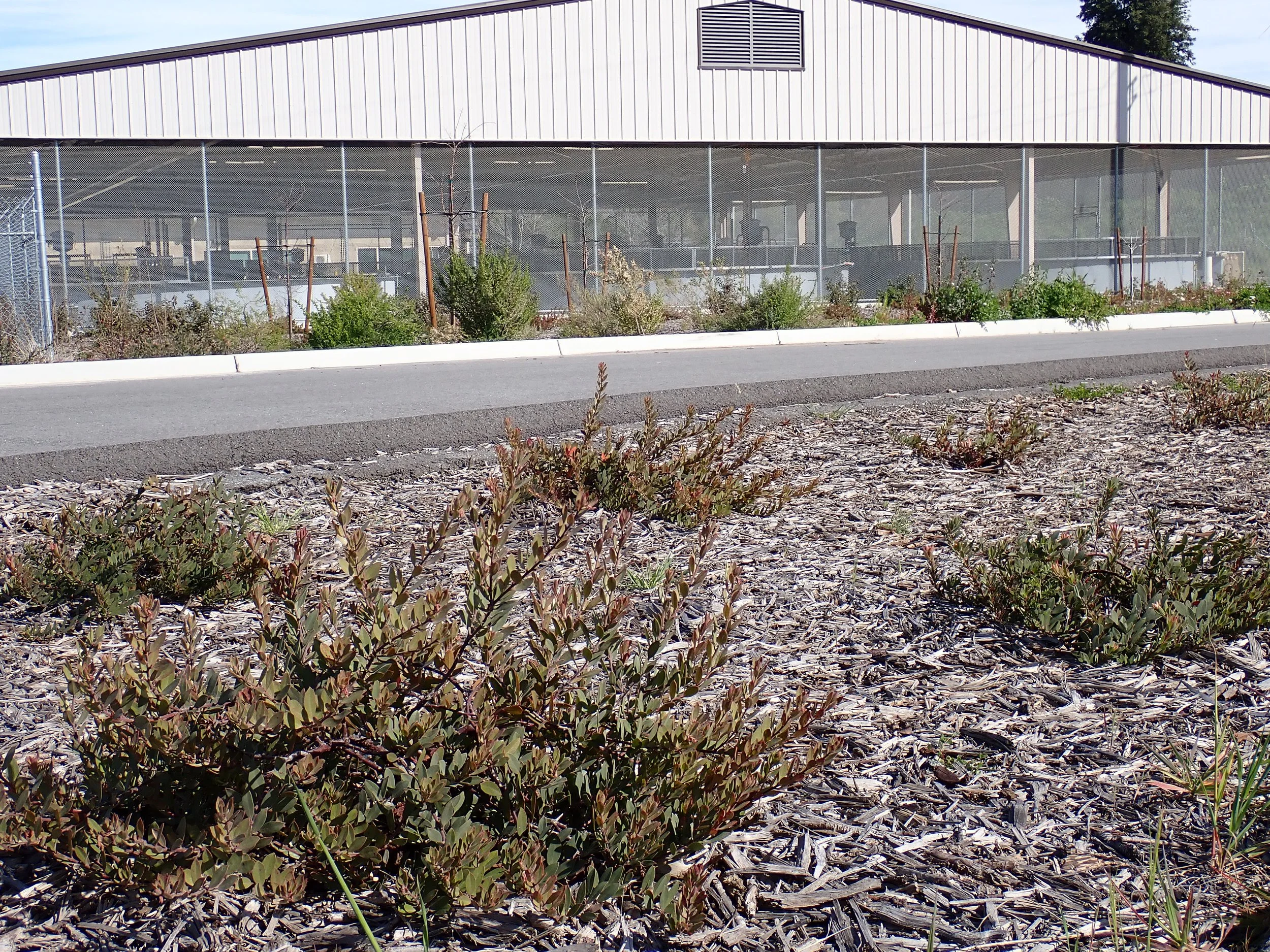
Fig 13. A monoculture planting of Arctostaphylos sp. in full sun showing signs of decline outside SCARF
The facility mission is to produce and study spring-run Chinook for reintroduction to the San Joaquin River under research conditions. SCARF will be capable of producing on the order of one million juveniles annually, and genetic strategy is in place to increase the likelihood that the released fish will not only survive to adulthood, but return to the river to spawn naturally. This is a shift from traditional production hatcheries toward a conservation hatchery model that is oriented toward self-sustaining populations instead of mass output.
Since 2014 the SJRRP has been releasing juvenile salmon into restored flows downstream of the dam. In 2019 returning adults were documented making the full life cycle back to the river which had not occurred in over 60 years.
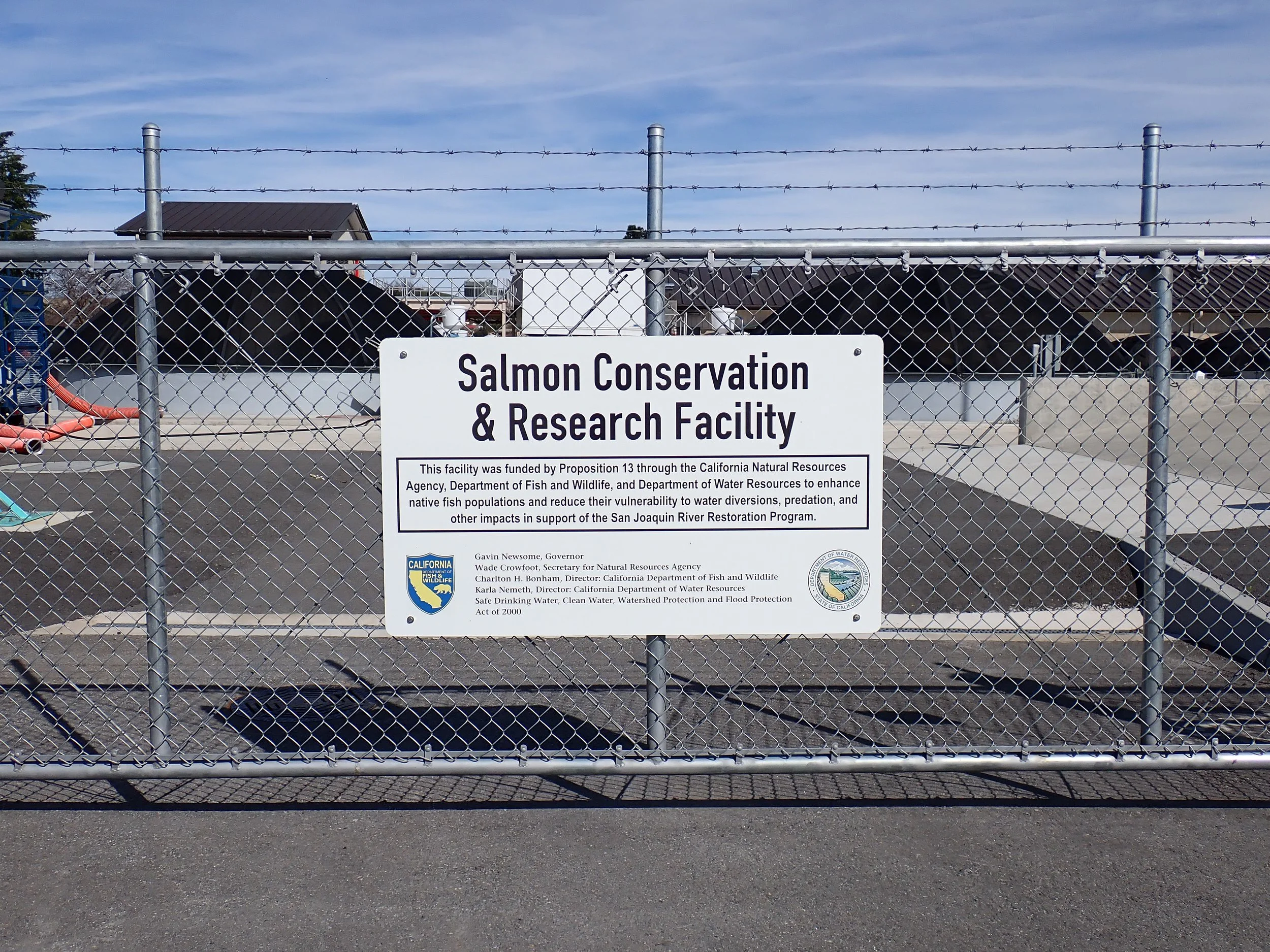
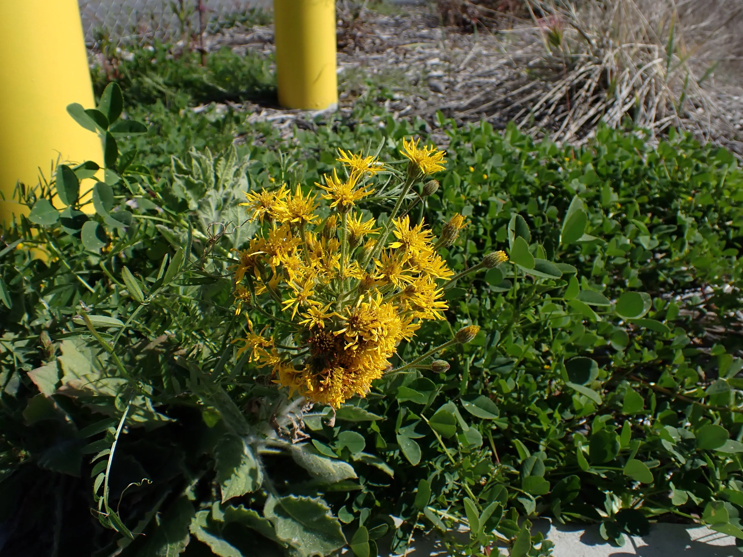
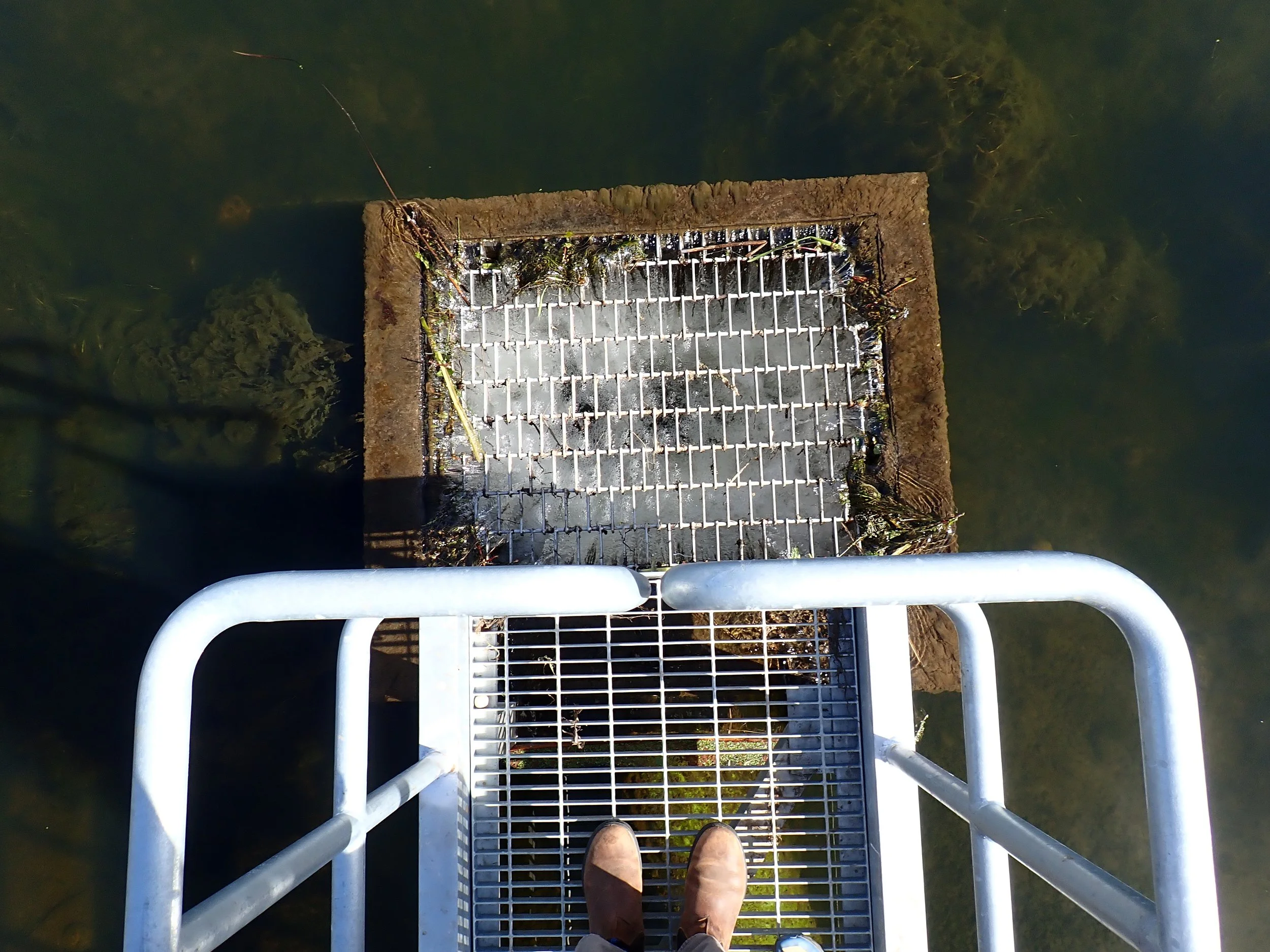
Fig 16. Public viewing area above the holding and filtration ponds showing seasonal algae
Beyond the interpretive site, the trail passes a series of discharge ponds. These are managed basins that receive facility outflow before water is returned to the San Joaquin River. These ponds slow water movement, allow suspended sediments to settle, and create opportunity for biological uptake before entering the main channel.
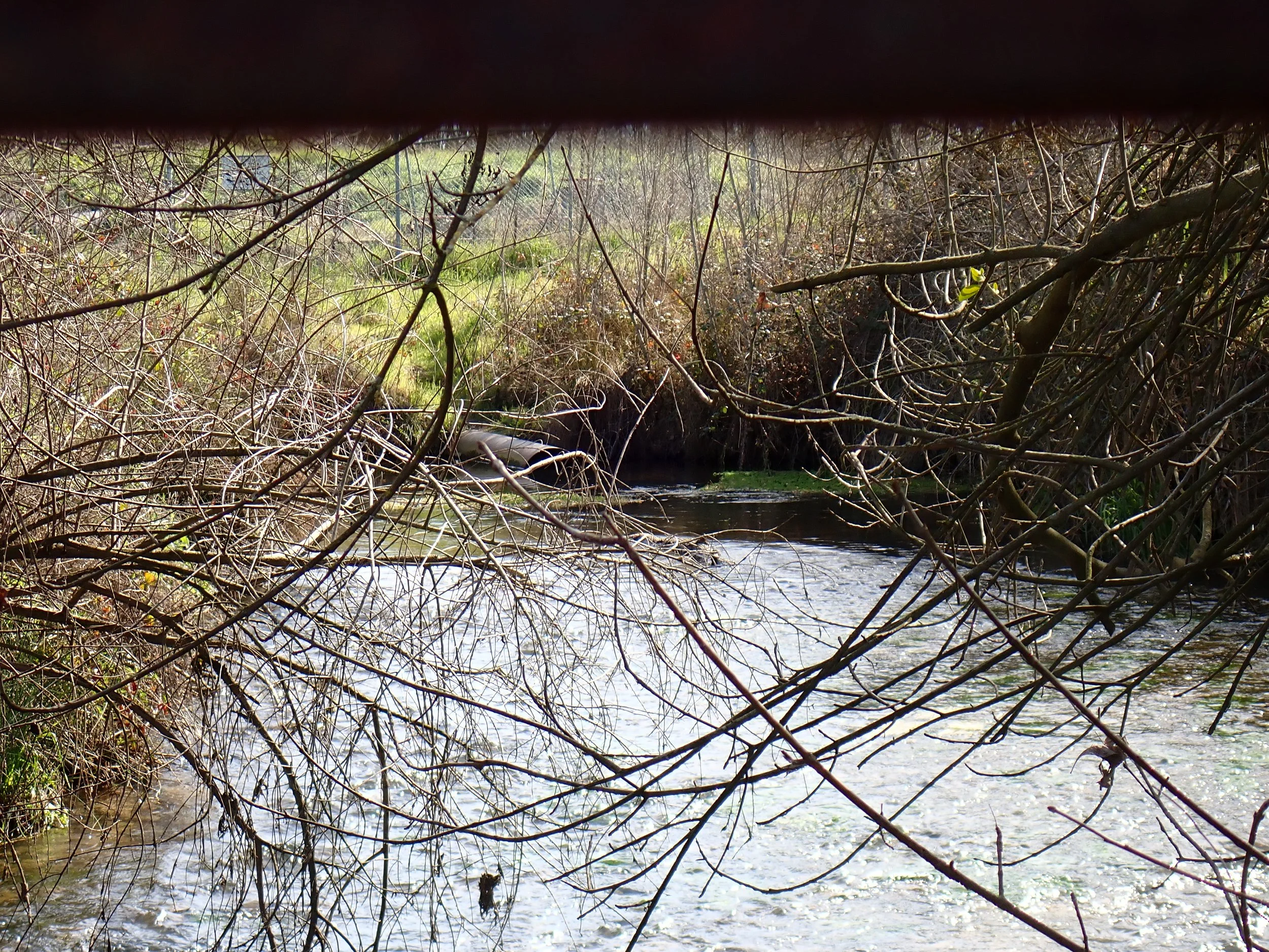
Fig 17. Outflow from the discharge ponds rejoining the San Joaquin River channel
River Access as Public Health Infrastructure
From SCARF the trail leaves the managed basins and enters the actual river corridor. Cottonwoods, valley oaks, mulefat, Artemisia, and willows line the banks moving into the riparian system.
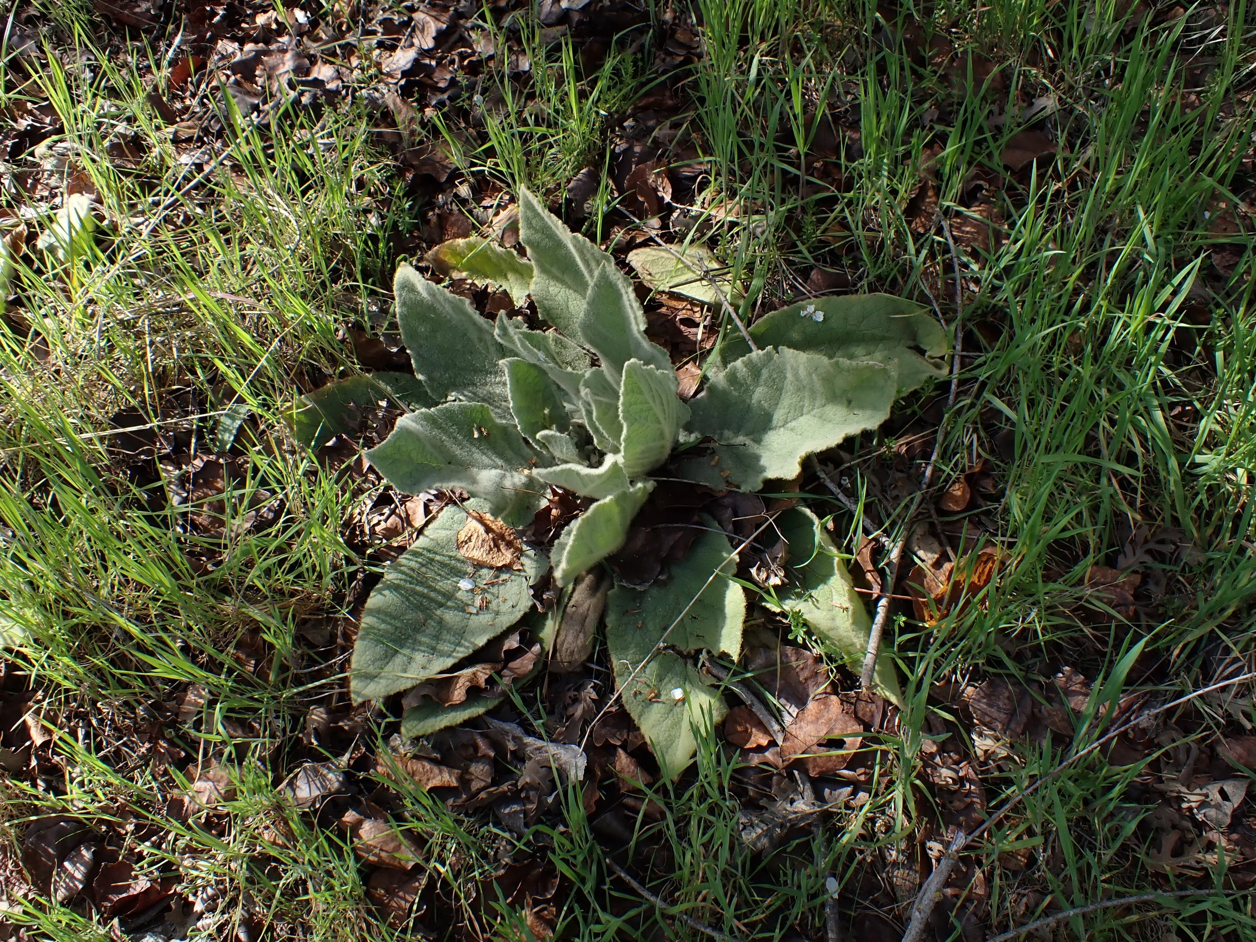
Invasive species are present which is not unusual for a river shaped by historic disturbance. Mullein and irises appear in patches. Homo sapiens leave their unfortunate traces too. Informal dumping is a predictable sight on a river bordering the urban edge. It is disappointing but not unique to this site, as rivers everywhere bear the impact of population density.
When we talk about restoring trails and replanting native plants along the San Joaquin River, we are also talking about investing in public health infrastructure. Across the state river parkways show measurable benefits to community wellbeing. Access to our river increases routine physical activity like walking, biking, running, and proximity to natural spaces is associated with lower stress and reduced anxiety and depression.
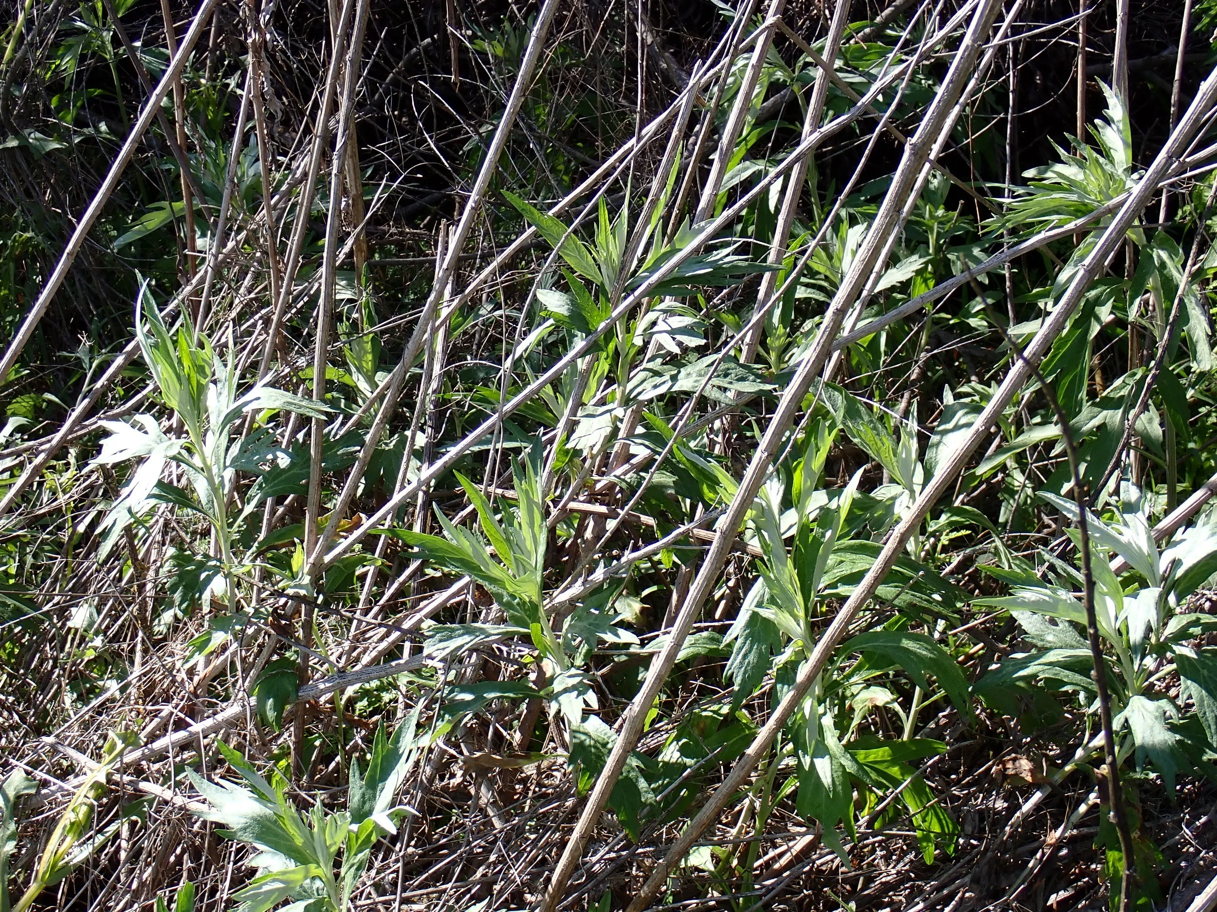
Fig 22. Artemisia douglasiana (mugwort) emerging from winter dormancy along the riverbank, a native species well suited to this site
Regional Comparisons: Continuous Access To Riverine Space
The Tuolumne River Regional Park in Modesto spans more than 500 acres and extends roughly seven miles along the Tuolumne. It integrates trails, habitat restoration, recreation and public access. It functions not only as habitat infrastructure but as civic infrastructure benefiting the life of the city. The American River Parkway in Sacramento extends 30 miles and is widely recognized as a model urban river corridor. It supports millions of visits annually and has been cited in planning literature as a major contributor to regional recreation, tourism, and outdoor experience.
These parkways demonstrate what happens when river corridors are treated as essential systems rather than leftover land at the edge of development.
Fresno’s Reality Along the San Joaquin
On the Fresno side of the San Joaquin River, public access remains comparatively limited and fragmented. We have valuable sites such as Woodward Park and Lost Lake both providing important entry points to the river. But for those seeking extended and quieter immersion, options are fewer.
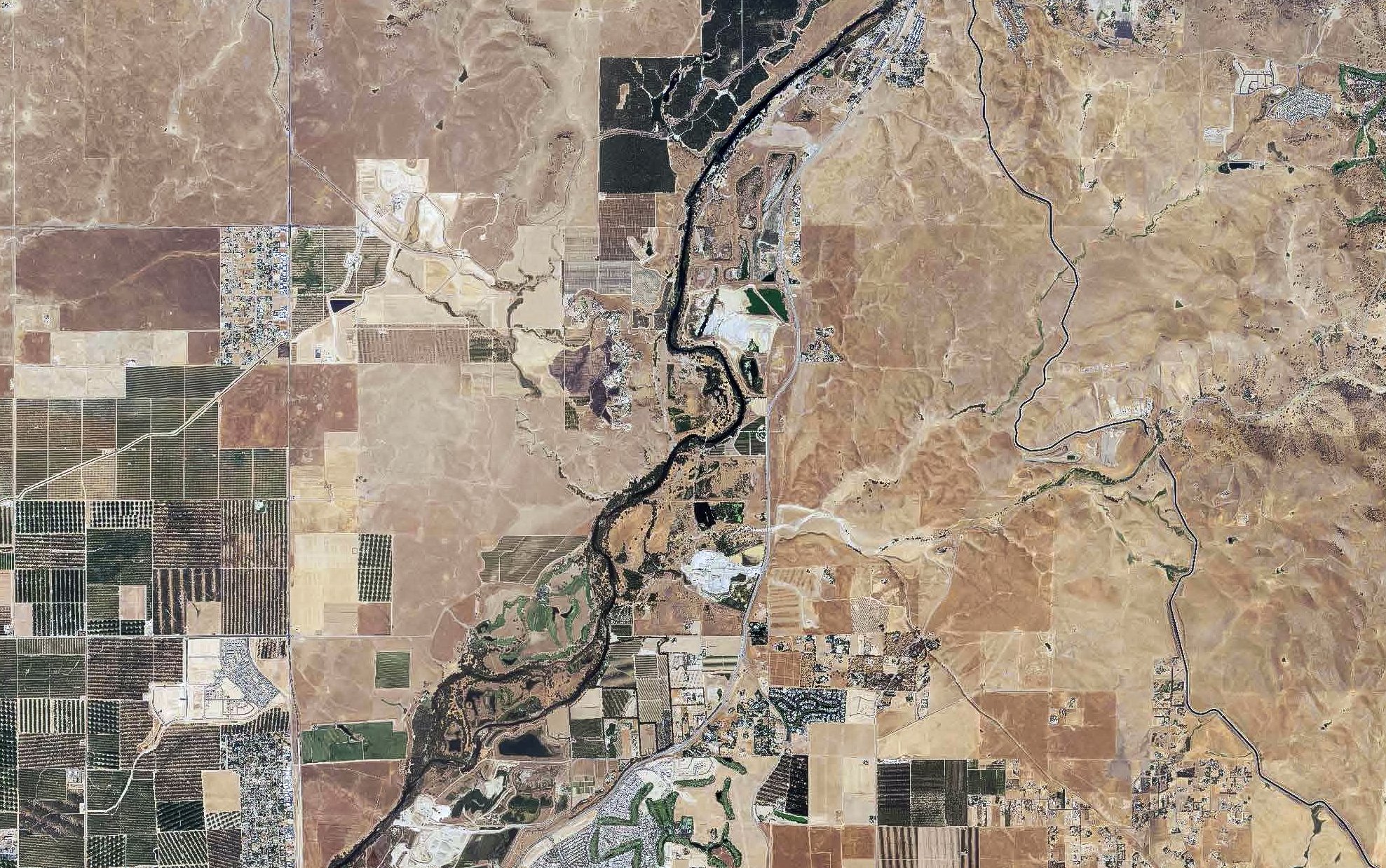
Fig 25. Aerial view of the San Joaquin River corridor from Friant Dam downstream toward the Fort Washington area. The light spots along the Fresno County (right) bank are active and former gravel mining operations which limit public access and have significantly altered floodplain ecology
As you drive up Friant road small portions of the river are visually present and even fewer are physically accessible. Again research consistently shows that proximity alone is not enough. Meaningful and repeatable access is what drives health, stewardship, and sustained community engagement.
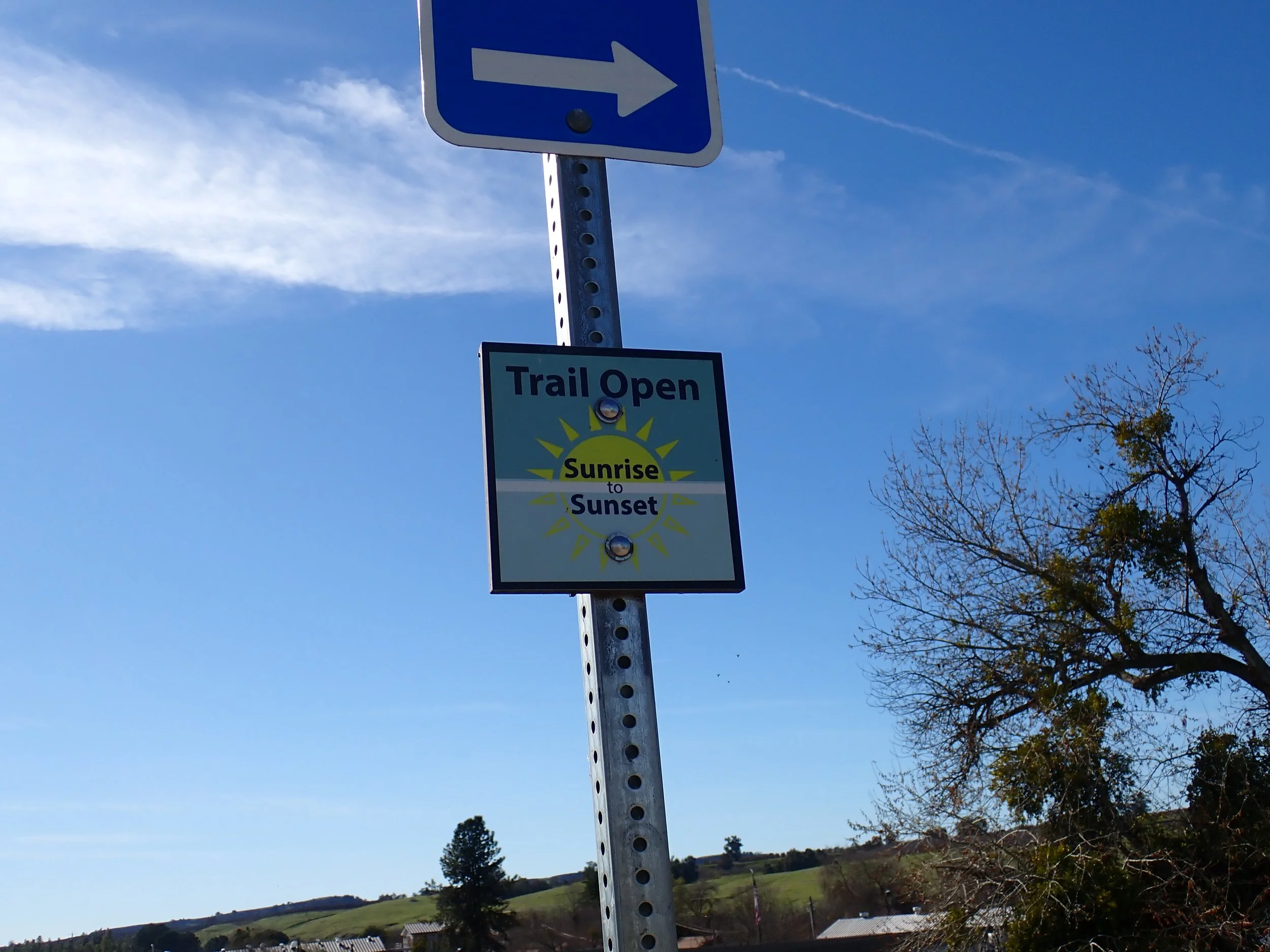
The trail through FINS is an interruption in that pattern. It is part of the larger San Joaquin River Parkway, an effort toward a continuous corridor extending from Friant Dam west to Highway 99. While only portions are currently completed there have been increasing discussions of linking valley trails and Sierra foothill systems as a network of access. At scale this system would greatly enhance habitat connectivity along the entire corridor.
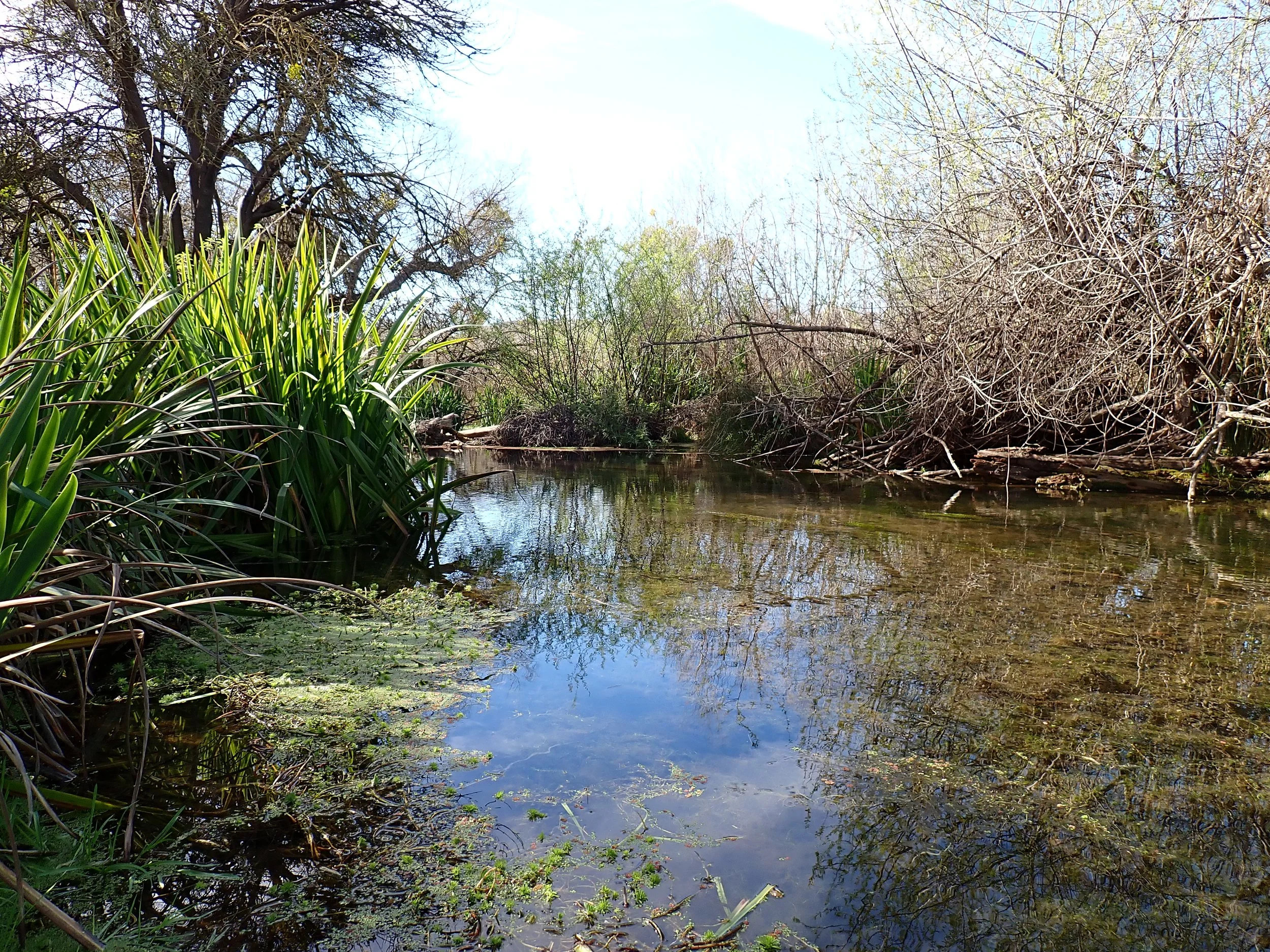
Fig 30. Yellow flag iris (Iris pseudacorus) occupying the bank with the open flow of the San Joaquin River and canopy overhead
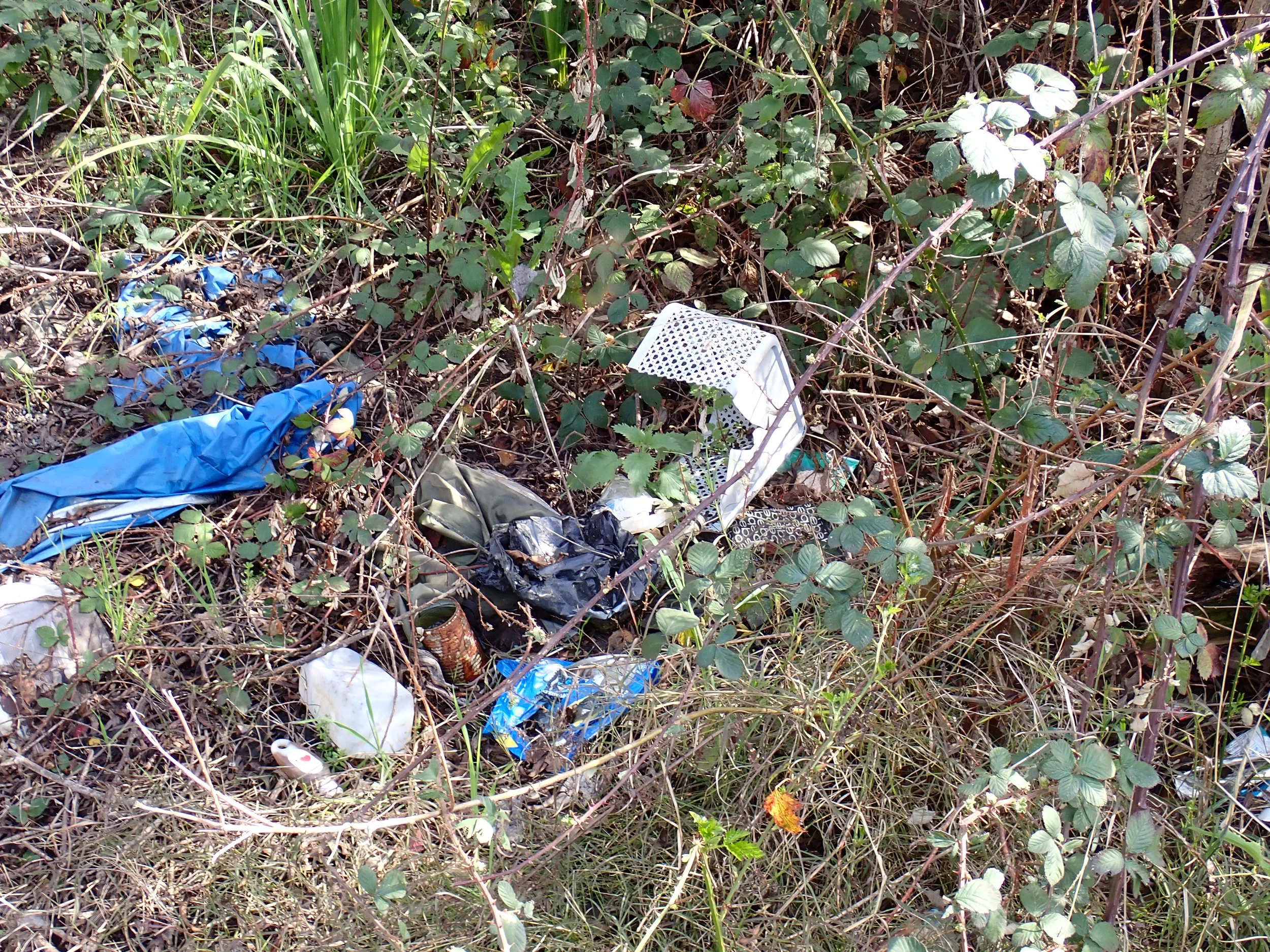
Fig 31. Invasive blackberry (Rubus sp.) overgrowing an invasive garbage pile along the river
For Fresno County, a region facing extreme summer heat, air quality challenges, and high rates of chronic disease, access to an intact riparian corridor is essential. Tree canopy, evapotranspirative cooling, and proximity to flowing water reduce ambient temperatures and improve comfort. In a warming Central Valley climate, these corridors can also be climate infrastructure.
From a botanical and ecological standpoint, river access also shapes public literacy. When people can walk among native species like willows, cottonwoods, Carex, mulefat, lupine, they begin to understand the function which grows from familiarity. On the public health end we already know that consistent exposure to so-called green or blue corridors correlates with increased physical activity and improved mental wellbeing. And from a civic standpoint, accessible rivers shape regional identity through lived experience and sense of place, not just symbolism.
Documentation & Involvement
We are establishing an iNaturalist project to document vegetation patterns, invasive pressure, seasonal phenology, and pollinator activity across this site, as well as other projects spanning Fresno County. Long-term monitoring shifts restoration from a series of planting events to a process of measurable change. Visitors and volunteers are encouraged to participate by joining the project, recording observations, and tracking shifts over time.
The goal is not simply to install plants, but to help build public spaces for learning and wonder. We look forward to seeing more people out here this spring and summer and invite you to follow along and join us as this work progresses. Continue following this site for ongoing updates.
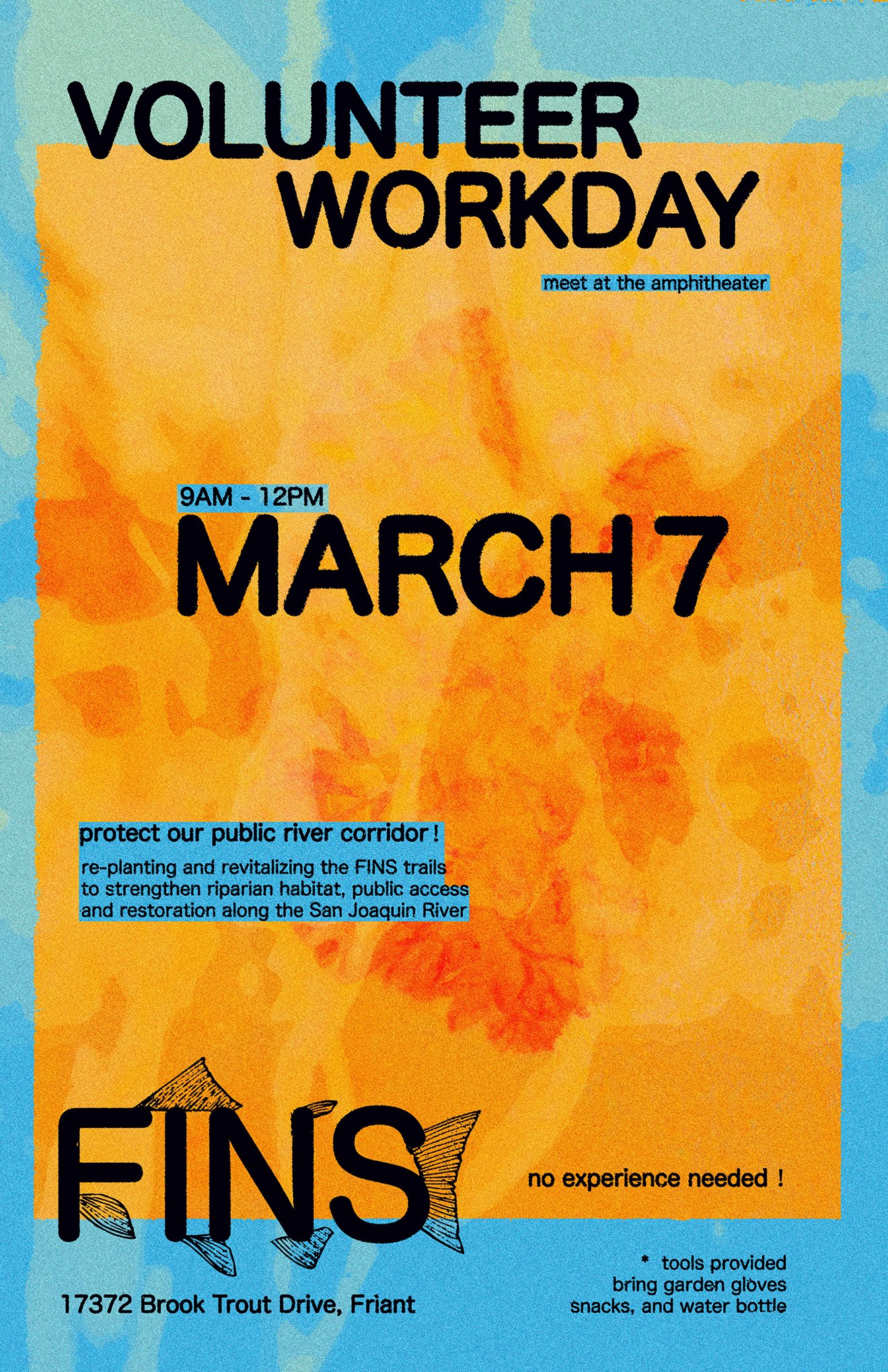
Our next volunteer workday is March 7th
Special thanks to Victoria Knight, Cheryl Moxley, CCAC
Resources & Reading
San Joaquin River Parkway and Conservation Trust
https://riverparkway.org
San Joaquin River Conservancy
https://sjrc.ca.gov/
San Joaquin River Restoration Program
https://restoresjr.net/
California Department of Fish and Wildlife, Salmon Conservation and Research Facility
https://wildlife.ca.gov/Regions/4/San-Joaquin-River
Tuolumne River Regional Park
https://www.modestogov.com/2940
American River Parkway
https://arpf.org/visit/
CCAC
https://www.caclimateactioncorps.org
iNaturalist Project, FINS Vegetation Monitoring
https://www.inaturalist.org/projects/fins-friant-interactive-nature-site
Images © Preston Ernest 2026